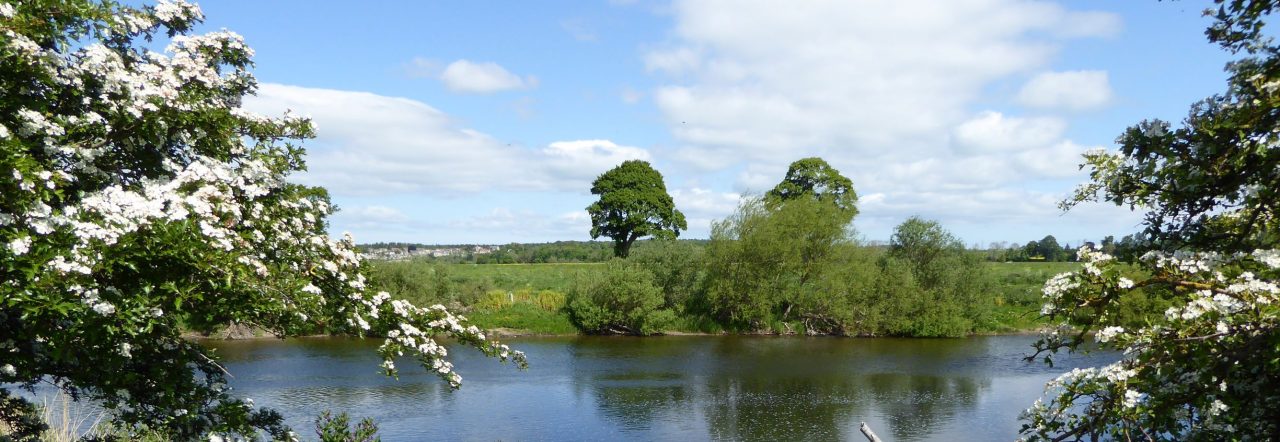
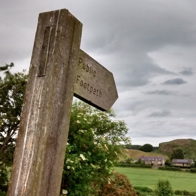
There are about 12 miles (19 km) of footpaths and other public rights of way in Carham parish. These can be seen on Northumberland County Council’s Public Rights of Way map – put “Carham” into the Search box to go directly to our area.
To report a problem with a right of way, go to Northumberland County Council’s Report page.
Footpaths Group
We have an active footpaths group that organises three or four walks a year to check that the public rights of way are open and in good condition. As part of the preparation for each walk, the group’s organiser liaises with the landowners on whose land the footpaths lie, as well as researching some of the history, geology and natural history of the route. They also liaise with Northumberland County Council to obtain improvements to the network of public rights of way in the parish.
Upcoming walks are advertised in the News + Events section of this website and on posters that are put up locally. We also put details on this page.
Past walks
Walk 1 – ‘By Railway and Byway’ – Wark, West Learmouth, Cornhill
- Poster 22 July 2018
- Update 26 September 2020
- Poster 18 September 2021
- Report 18 September 2021
- Poster 15 June 2024
- Report 15 June 2024
- Poster 21 March 2026
- Report 21 March 2026
Walk 2 – Pressen and Piperdean Lane Circular
- Poster 10 November 2018
- Report 10 November 2018
- Update 3 February 2021
- Poster 9 April 2022
- Report 9 April 2022
- Poster 17 February 2024
- Report 17 February 2024
Walk 3 – East Learmouth to Barley Hill
Walk 4 – ‘Verges, Lanes and Commons’ – Lanes around Wark
Walk 5 – Mindrum Farm Walk
Walk 6 – Wark Circular via Shidlaw and Carham
Walk 7 – Wark Common Farm Walk
Walk 8 – By Footpath, Farm and Byway
Walk 9 – Station, Footpath and Byway
Walk 10 – West Learmouth Farm Walk
Walk 11 – Railway, Road and Footpath
Further afield
There are numerous opportunities for walking in North Northumberland and the Scottish Borders. Carham parish is close to Northumberland National Park, and St Cuthbert’s Way passes through the Cheviot hills just to the south of us. The Pennine Way finishes just four miles away, in Kirk Yetholm, and the Northumberland Coast Path is about half an hour’s drive away.
For more ideas, see the Visit Northumberland website.
